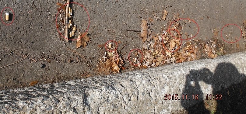
I have removed all the small garbage items of plastic. I did not take before pictures, but I have run out of those plastic bags from the grocery store that we all keep.
I wonder about the history of the land. In the Google photos of the parks you can see lines. These lines are rock walls. I presume a farmer some time in the past piled the rocks there. Erosion where the land reaches the river, tells me the river level used to be much lower, so I don't think it has been a "wetlands" for long.
A mystery is the City sewer system kind of pipes on the land. When were they put in place?
The train bridge was built in 1882. Île Bigras railway crossing. There is a camera on the bridge. I don't know if the camera is watched.
Back to the rock walls.
 first rock wall going west from Rue Riviera Park
 rock wall on the river
 Second wall on the trail
 Picture of the river and the train bridge up ahead
 Joaquim Serrano photo from http://mw2.google.com/mw-panoramio/photos/medium/21411875.jpg
 Third rock wall looking south. It opens to a large area . In spring time this is underwater and ducks rest here. It also has something quite bad, but this is supposed to be a good post so I will not name it.
 Third rock wall looking west towards the bridge.


No comments:
Post a Comment